
The Northern region of Canada comprises a vast and varying geography with the 3 territories alone accounting for around 40% of the total area of Canada and a very small percentage of the total population. The geographic contrasts include the taiga (boreal) forests of the subarctic region, to the tundra, permafrost and barren landscape of the Arctic.
Transportation is a lifeline for northern communities and enables economic development in Canada’s Arctic, yet northern transportation infrastructure remains limited. This makes it difficult, time-consuming, and expensive to move passengers and goods in and out of remote northern communities. The mode of transportation that is feasible varies across the North; the unique geography of the North poses certain challenges to the transportation of passengers and cargo, requiring an equally unique transportation system.
Many northern communities are highly dependent on summer sealifts. Arctic sealift operations resupply coastal communities in Nunavut, Nunavik and the Northwest Territories with limited or no permanent road connection to southern Canada. The sealift is characterized by a system of tanker and dry cargo ships carrying out resupply activities at Baffin, Kivalliq and Kitikmeot. It also includes deep draft barges to Kitikmeot and the coastal Northwest Territories communities, and a barge system through the Mackenzie River.
Many northern communities receive only 1 sealift per year, and the shipping season is very limited, operating between July through mid-November, with heavy ice breaking required on the shoulders of the season. Sealift orders must be made about a year in advance for anything required the following season, including heavy equipment, construction materials, dry goods, fuel, and vehicles.
Air is the crucial form of transportation in the northern region for travel, essential services (e.g. medical emergencies), all-season resupply (including food and mail), tourism, and other economic development. The northern air system has scheduled air carriers which provide mainline service between southern Canada and 4 northern gateways – Whitehorse, Yellowknife, Rankin Inlet, and Iqaluit – supported by an extensive network of connecting or feeder services. The northern airport system supports the air service through a system of 80 airports operated by the territorial governments, as well as a number of other airports operated by resource companies, tourist operators, and federal government departments.
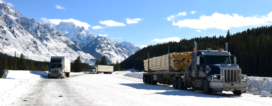
The development of surface transportation infrastructure varies greatly in the North. Yukon has the most extensive highway system in northern Canada, comprising of Alaska Highway, Klondike Highway, and Dempster Highway connections to both the Inside Passage and the Arctic coast. This system links most mineral production areas in the territory to tidewater at the Alaska Inside Passage Port of Skagway. It also provides direct trucking access from Watson Lake via Cassiar Highway 37 in British Columbia to the BC Inside Passage Ports of Stewart, Kitimat and Prince Rupert.
The Yukon highways carry the most northern surface traffic in terms of tonnage. Surface transportation in the Northwest Territories tends to vary, with people and cargo being transported by all-weather and winter roads in the west and along the Mackenzie Valley to a rail connection with the South (through Hay River). With climate change heavily impacting the North, winter road seasons are becoming more limited and unreliable. Nunavut and Nunavik have no road or rail linkages with southern Canada. Both have limited roads linking some communities, and are heavily reliant on the limited summer shipping season for bulk goods and fuel, and on air transportation year-round.